Wednesday, September 12, 2018

Day 140, 14.1 miles

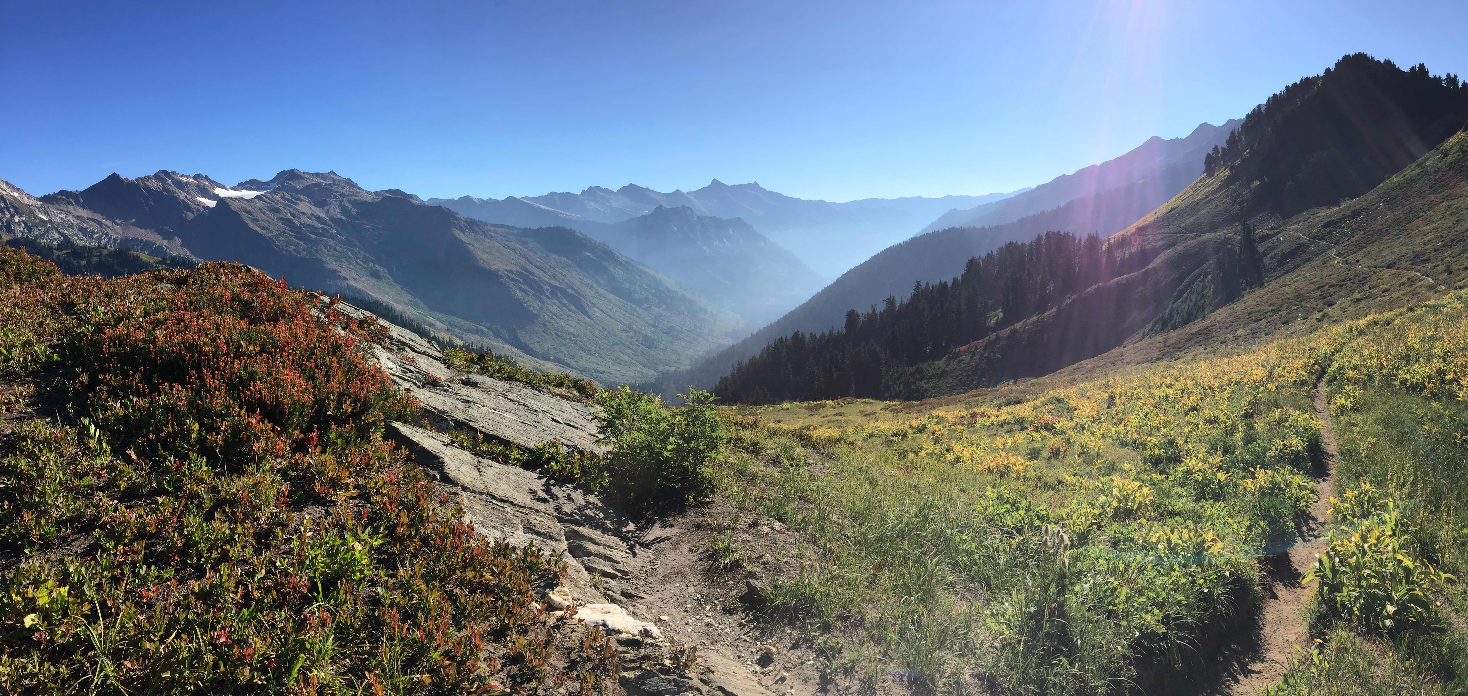
I woke up early for once, eager to beat the potential torrential downpour and get to Mazama for my last resupply! It had rained last night but since I put up under some nice trees, my tent wasn’t too horribly soaked. Although it was only 14 miles, it was all a gradual uphill. One up side to having to do all those cruddy alternates with horrible steep and bushy trails is that now the PCT feels like a well-graded highway!


Super cool fungus!


I passed some of the largest trees I’ve seen yet on trail. In the picture above I’m standing about 6ft away from it just to get the whole thing in frame! It’s HUGE!! The weather was overcast but nice and sunny and bright somehow even through the gray clouds.


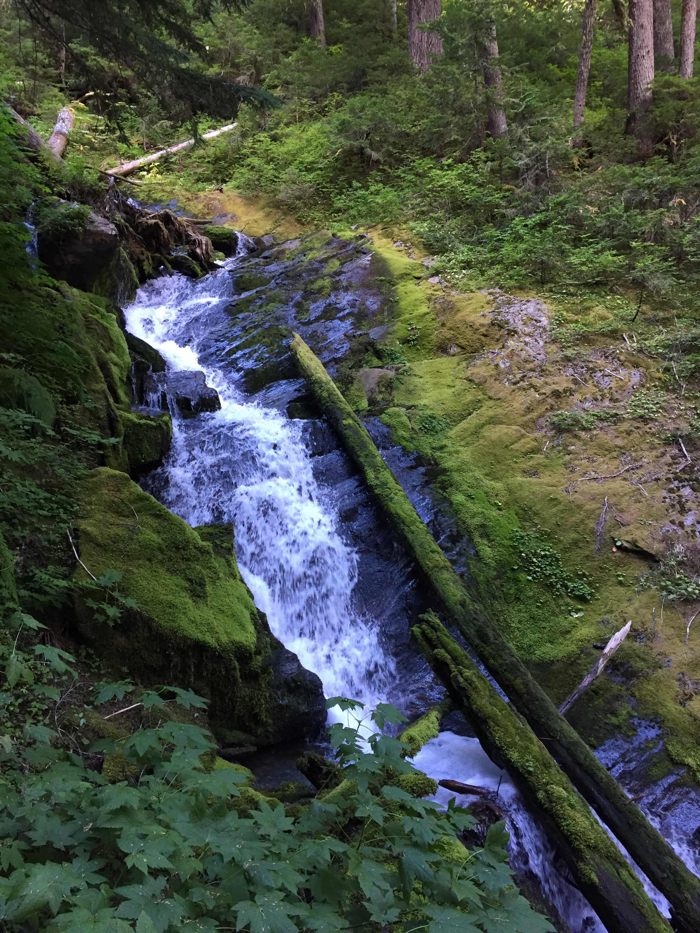
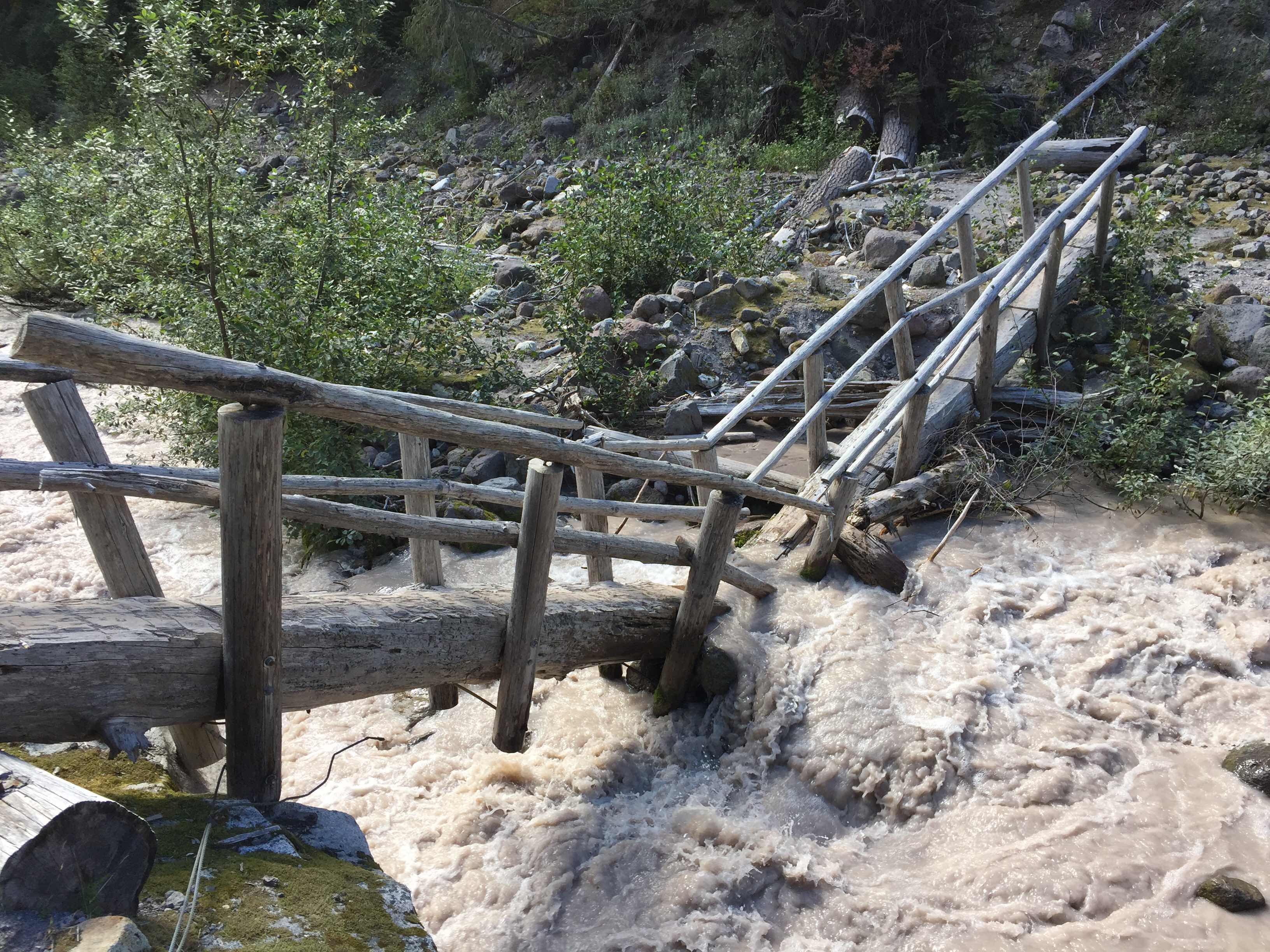
The sun broke out and the yellows and oranges really started to pop out. There was plenty of water all over the place, and my pack felt extra light since I was close to town! I saw Happy (the older one), and we leapfrogged a few times for about 5 miles or so. There were some really neat giant logs placed over some of the river crossing which I really liked. One of them was cut and placed at a strange angle. I still walked across it (carefully), but I figured that some other hikers might opt for a river ford.


That’s not right! Haha

Even though I had a huge cinnamon roll for breakfast, I still got hungry for lunch pretty early, and the pizza that I packed out from the bakery near Stehekin didn’t last past 10:30am!


Yum yum!!

I hit the Rainy Pass Highway just after noon and came across this little pleasant surprise:


Someone had set up this mini monument on a smooth flat rock at Rainy Pass. About a week and a half ago the trail was closed all the way to the border from here at Rainy Pass! I thought it was really neat that someone made this little monument for the hikers that had to end their journey here.


Words to go along with the monument 

I stood out on the road for only about 15 minutes before I got a ride down into Mazama. My ride was a sweet older lady from Salt Lake City Utah who was visiting her son up in Seattle. She talked a lot about different things for the 30 minute ride down into town. It felt great to just listen for once instead of doing all the talking. Her husband had passed away when her son was just 7, and she said that her relationship with her son was not confrontational or too disciplined, but instead as an honest friend. Listening to her reminded me of my girlfriend Claire and her mother Dona, who are an inspiration to me in terms of how a parent and their offspring can get along so well. 


Car views of the pass and surrounding area

I got dropped off at the store and saw Rachel and Alcatraz (the father/daughter hiking duo), along with mom and their two dogs! I picked up THREE packages from the gear store nearby (how loved I feel!) One from mom that consisted of the bulk of my resupply food, an envelope from Claire which had my passport and entry to Canada permit, and one from Sarah that had more food goodies! This is the last package that I’ll pick up on the PCT, and I can’t express how thankful I am to you three especially for supporting me in this way!
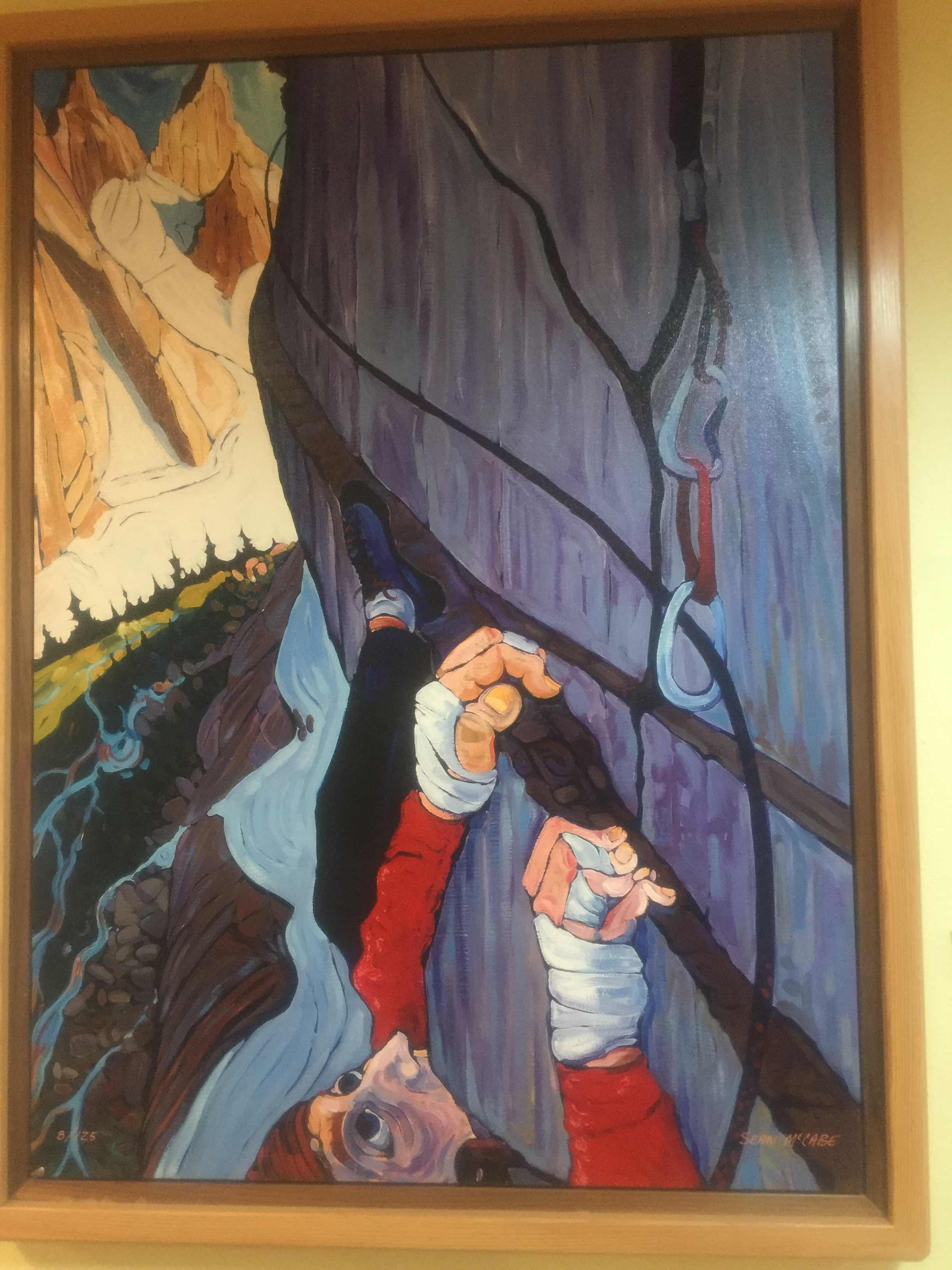

Cool art in the store! “The Ledge” - Sean McCabe

At the store I saw Caribou and Streetfighter and they said there was someone at the trail angel’s place that was looking for me! I packed up my pack with all my new food and headed out the half mile over to Ravensong’s Roost. Ravensong is as far as we know the first woman to ever complete the PCT as a thru-hike back in 1976. She has opened up her sweet bunk house to hikers to use and wait out bad weather before finishing. 


Magic!

It was Magic who was waiting for me! He had finished three days ago and hiked back down south. His buddy drove all the way across the country from New York to pick him up and take him home! I was glad I got to see him again! I also saw Pabst and Power Mode, the two French hikers from Quebec.


Power Mode and Pabst

The bunkhouse has a whole upstairs area where hikers can sleep, but I was scoping out all the neat tents in the yard!


I decided on this one!


So roomy! Didn’t even have to use my sleeping pad!

I heard that the Inn’s restaurant near the general store had dinner starting at 5:30pm. The Roost has multiple bikes that is hikers can use to get back and forth from the Roost to the store instead of walking the 1/2 mile. I took a bike and headed back over towards dinner! 


Two-pack on a bike! 


Mazama is sure beautiful!

Streetfighter and Caribou were still there and they were going to hit the restaurant too, so we all headed over together. Bike Squad!! We stood in the entryway to the restaurant because of the “Pleases wait to be seated” sign, but eventually I went to the Inn’s office to see if anyone was actually working the restaurant. She said that they didn’t offer dinner Monday-Wednesday! Oh no! As far as we knew this was the only place in town that had dinner, but a quick Google search said that there was a pizza place ~3 miles away! That was only ~15 minutes away on a bike so we rolled down the highway towards dinner (again)!


So worth it!!

We ate lots of pizza and drank beer to our hearts content. Caribou lives in Portland and works about 6 blocks from where Claire and I live, and I told her we’d pop in and visit her one day. Street Fighter is a graphic designer from Switzerland and that’s (sort of) what I went to school for, so it was fun to talk about that world for a little while. It was soon dark and the theee of us headed jack to the Roost, where I crawled into my own personal giant tent and passed out! 

Thanks for reading! 

Tuesday, September 11, 2018

Day 139, ~30.1 miles

This morning I woke up in a big bed in a nice dark room. I set my alarm for 6am and actually had to stick to it today! I knew I was in for a long day. I looked out the window at the village below and everything looked drenched. It had rained all night and I was VERY glad to be dry! 

I said goodbye to Hopper and the others she let crash on the floor, and Two-Pack was out! Breakfast was at 7:30am but instead I just grabbed some fruit and toast from the snacking area of the cafeteria and headed out. Within 100 steps of leaving the lodge, I saw a German hiker who knew me although I still can’t remember his name, and at this point it’s too awkward to ask, haha. (Edit: his name is Bigfeet!!)

We talked while we walked and about a 1/2 mile later I realized we were supposed to turn off of the village road to connect to the alternate trail; WAY back where we stayed hiking! Well, off to a speedy start! Haha. We headed back to the turn off, both of us feeling like idiots for having missed the signage (which in our defense was not very obvious). 

The detour started nice and flat for about a mile, ending at a sweet waterfall. You could tell that this short easy hike is popular amongst visitors and locals. From there, the trail goes STRAIGHT up a STEEP hill!! The big hill I was talking about yesterday has NOTHING on this beast... It was a steep burn section through super fine and soft dirt, which made climbing extra strenuous. 

My phone yet again wasn’t taking any photos, which was a shame because although difficult the poor trail was very beautiful. As I kept climbing I felt increasing rain drops, and the tops of the looming mountains around me were shrouded in a menacing grey cloud/mist. I put my rain jacket on but soon regretted it as I huffed and puffed my way even still further up into a seemingly endless hillside.

Finally I made it to the top with not much for views. I looked behind and couldn’t even see my mystery German friend. He said that he was taking it slow due to some foot problems. I took no time at the top and started an immediate descent down a scary steep pass. There were at least two sections of 50° grade, down slippery mud and rocks. The trail was steeper than any of the passes in the Sierra, and I couldn’t even imagine walking down it with any snow on trail. I tried to stay focused on my feet as a single slip would surely result in multiple broken limbs, if not death...

The trail finally calmed after about a mile of this severe drop. Then it was about 11 miles of wet bushwhacking and river hopping. Although it never started pouring on me, I was completely soaked due to the overgrown trail. I’m getting REAL sick of these alternates!! I tripped on more roots today that I ever have before, and I started to get some strange nerve pain in my right groin/thigh area after tweaking my hip in a strange way after slipping off a rock. UGH! 

I still hadn’t made a solid plan as to my next course of action. Since missing the store in Holden I knew that I didn’t have quite enough food to make it to Mazama, though I still had about an extra days worth. I knew that there was a shuttle service between where the detour pops out on a gravel road, the Bakery, Stehekin, and where the PCT continues 7 miles west of the detour. I heard that there were no roads into Stehekin, (so I assume not a lot of cars), so I figured I’d wait and see what the hitching looked like before I made any decisions. What I really didn’t feel like doing was spending a night in Stehekin either in the rain or in a $120 hotel room, and then having an 11 mile road walk the next day! 

Sorry if none of this makes sense, this fire closure is extremely complex, and long story short; I was just winging it! Just a little while before the road, I ran into Rocky from Hungary again! I was glad to see that SOMEBODY was also hiking this alternate and that I wasn’t the only “crazy” one out here. Get this, when I see her, she said she saw a bear MINUTES before!! Gaaaaaaah!! Where’s my bear sighting!?!? 

I continued to fly down the hill, still unsure of what to do but knowing that the sooner I hit the road the better. When I did reach the road I saw many trucks and utility vehicles driving by. This was a good sign for hitching and meant that I might not have to rely on the shuttle schedule to get to my resupply and back again! I walked along the small road and crossed the Harlequin Bridge. My phone camera started to work again yay!! 


The Harlequin Bridge

I knew that the PCT was ~7 miles West, that Stehekin was ~4 miles East, and that the famous bakery was only ~2 miles East. Guess what I did?! Oh yeah, the bakery baby :) I hadn’t even walked a 1/4 mile when a utility truck came by and pulled over for my thumb-out! I asked if they could take me to the bakery and they said to hop in!!


Utility truck views


The Suiattle River 

When I got to the bakery, I saw a bunch of people that I had seen at Holden last night for dinner! They had all caught the bus and ferry and were wondering how I got there so fast! My own two feet that’s how!! Man oh man was this bakery AMAZING!! While I was there I had two Thai peanut veggie rolls, a HUGE sticky bun, and a fresh fruit and granola parfait. They had day old cinnamon rolls for $2.50 (I grabbed one for breakfast tomorow), and they had giant rectangular pizza (I grabbed two veggies for lunch tomorrow). Everything was fresh and delicious! I can see why the place is famous! 


So sweet and sticky! 


Not so sweet, but still sticky? Haha... Bed bugs or poison ivy?! 

Well, goal one for the afternoon was accomplished (to resupply), now it was my not so favorite part (road walk 7 miles back to the actual PCT).Well, 9 if I couldn’t get a hitch back to Harlequin Bridge. For awhile I thought that may be reality. I waited outside of the bakery for about 15 minutes. I was getting absolutely SWARMED by mosquitos since Stehekin is only at 2,000ft. Just as I was about to start walking, someone finally came by and they stopped for me too! 

It was a sweet older lady who was headed home after work to go feed and walk her two big mutts. She dropped me off at the Harlequin Bridge after informing me that she was after all headed further along the road and closer to the PCT. People must think I’m ctrazy when I insist on walking the road sometimes just to connect my path, haha. About 2 miles into the roadwalk I saw her walking her dogs! (She really must think I’m crazy, hahaha).

The road was paved for about 3 miles and then became gravel, which feels a little better on the feet and knees. Now that my shoes aren’t covered in mud I can see that there are giant holes ripping in both shoes, similar to what happened to the last pair! But instead of beating 1,200 miles old these are only ~400 miles old! What’s going on?! It’s probably due to all the rain and constantly being wet, and maybe this constant aggressive elevation gain/drop that WA is known for. It’s ok though, they’ll still make it to the end!


:(

The reason why this blog entry is so lengthy is because I’m writing it on the roadwalk. Normally I wouldn’t do that but I’m over 5 miles in and have seen about 4 cars total. I can hear them coming from far away and they drive slow on the gravel. There are on the other hand plenty of bikes! It doesn’t seem that too many people live way out here but everyone who does seems so happy!! I’ve been getting nothing but smiles and waves all day and I can’t wait to go to the actual town of Stehekin one day with Claire! 

Oh yeah, just to clarify, if any of you are like “Why would he hitch two miles but then walk seven?” or vice versa; for the footpath to work, I sometimes have to walk these ridiculous routes around fires. Often times the route is the shortest way around the fire, but not nesecarily all on trails. Any extra walking, like to the bakery for example, which is out of the way of the path, I can hitch to and back from. All I need to do is make sure I continue walking from where I stopped,(or have walked to before), to stay true to the continuous footpath. Let’s say for instance I ended up walking to the bakery instead of getting a hitch. I’d still be able to hitch back to the Harlequin bridge afterwards because I had walked there initially.


Along the old road


A tree still standing in the middle of the river!! 

At the end of the road there is a small rangers station. For the next 17 miles of the PCT you are required to have an additional permit to camp in designated sites, and no dispersed camping is allowed. Back at the bakery there were three hikers (Street Fighter, Mango, and Caribou) who said they had gotten a 4 tent permit for the first campsite (5 miles North) from the end of the road, and that I could take the 4th space. The ranger asked to see my wilderness permit and I told her that my “group” was on the way. They were taking the last shuttle out of Stehekin and I had beat them there by about 20 minutes. I chatted with the ranger until they arrived and we headed towards the campground. 

It turns out that there was a whole PCT hiker camping area at the campground, and there was almost no one else in the rest of the campground (must be the weather). It probably didn’t matter where we camped but it felt good to do things by the book. There were probably 20 sites there and I picked one under a lot of trees in case the rain comes hard tonight. (It’s 9pm as I write this and it’s already started!) 

There’s supposedly some thunderstorms possible after 11am tomorrow, with increasing rain all day starting tonight (possibly a 1/4 inch!!). I plan to do the 14 miles to Rainy Pass around or before noon, and head to the P.O. to grab my last resupply. Then it’ll be off to a trail angel’s there to finally get some WiFi and service and put all your minds at ease as to whether I’m alive or not! I might take a zero there depending on weather and finish strong! 

I can’t believe I walked over 30 miles today! And only 5 of them were actual PCT miles, hahaha. Oh how I LOATHE fire alternates! It’s ok, I have less than 80 miles left, and I’m so pumped that this year I’ll actually be able to walk from Mexico to Canada!! This is going to be something that I remember for the rest of my life! 

Thanks for reading!! 

Day 138, ~18.5 miles

Well, so much for that semi-early start! I picked SUCH a great spot to camp in case of rain that the thick trees didn’t let any light come in at all! I didn’t wake up until almost 7:30am and didn’t leave until almost 8:30am! Boy was I tired!! I realized that my body just needed an early night and another late morning to try and recoup some energy...

This morning I had lots of tiny bumps on both legs and feet. I think a tiny spider or other bug must’ve gotten into my sleeping bag and ate up my feet! The bites are very small but extremely itchy, and I couldn’t help but to scratch a few of them this morning. 

Oh man, this climb this morning... I really need to stop saying “huge hill” and “big hill” unless they really are big. This morning’s climb was HUGE! 7.5 miles of up. And up. And up!! Imagine a nice hike you have set out for yourself, maybe a little loop or a 4 mile out and then back to a nice lake. But instead of working for a nice lake, you just go up and up and up and up for seemingly no reason! 

The day was a little hazy with smoke but at least it wasn’t raining! I had somewhat expected it to be raining this morning and possibly all day and was pleasantly surprised. Near the top of the climb I had a cool view of Glacier Peak and the surrounding mountains, but my camera on my phone would NOT work!

I saw Rocky from Hungary again which was neat, and I leapfrogged Alcatraz and Rachel for a bit. I also saw Hopper and met three new hikers at one point. At the very top of the climb the fire detour started. It takes us PCT hikers straight back down 11 miles into a beautiful valley, through the small community of Holden Village, and then up and over a huge pass, and then straight back down for 17 miles to a road where you can take a shuttle or walk ~4 miles East to Stehekin or ~7 back to the PCT! 


It was cool to see other hikers doing the alternate. Usually if the reroute is around some main roads many hikers will instantly chose to hitch, but in this case there was ~86 miles of good trail before the detour actually began so most hikers just went for it! I am finding that from Holden, most hikers will take a bus and then ferry to Stehekin, where I will do the 17 mile climb and drop, and then walk the road back to the trail on the other side. 

On the alternate, the top of Cloudy Pass was so beautiful! I DEFINITELY need to come back here with Claire! I’ve already been working on a sweet loop hike in my mind to take her on! There are giant snow-capped peaks and small glacial fed lakes of the brightest blue hues, with the fall colors popping and huge green pines scattered around! Ahhhhhh! At first I was pretty bummed that my camera still wasn’t working, but then I reminded myself that sometimes you just gotta take a mental image to remember! Sorry blog readers! 

The stretch down into Holden was long and not the easiest on my knees. I was trying to stay in the zone to use the least amount of thigh muscle to slow myself down that I accidentally stepped on a snake!! It scared both us us so much, but it slithered offjist fine! Although jarring and brushy, the trail was still beautiful! I didn’t eat very much just so that I’d be super hungry when I got there. (I had heard their store has $3 milkshakes.) As I got closer I could see remnants of some old infrastructure, and it was kind of creepy! Old foundations left abandoned, rock walls and steps protecting nothing and leading nowhere.

About a mile later I came into the “Village”. It could definitely be the setting of a horror movie but was actually pretty cool! (If that makes sense). There are many huge lodges all over, some yurts, a general store, and a main hotel registration/cafeteria building. It’s really hard to explain but the place was really neat! No modern cars, just a few old work trucks from the 50’s.

 I was there around 3:30pm and dinner wasn’t until 5:00pm, but I paid my $12 and hung out in the cafeteria snacking on apples, bananas, and toast! They have laundry machines that spit out the quarters you feed them so they can be used over and over at no cost. They have free showers and clean towels for hikers even if you don’t stay the night! ($99 for a room).

After washing the dirt off my legs I saw that I had waaaaaay more “bites” than I thought! Others around me said it looks like poison ivy since the ones o scratched this morning had puss oozing. I’m still going with bed bug bites since they were on the top of my foot too (unless of course I spread the poison ivy oils around in my sleeping bag.) Either way, I’m going to attempt not to itch and hopefully it will go away! (That’s the true thru-hiker way!) 

After laundry and a shower it was time to eat!! This is the best $12 meal I’ve ever had! It was pasta night and everything was organic and fresh and yummy! There was spaghetti and linguini and marinara and mushroom alfredo and roasted roots and broccoli and a salad bar with delicious fresh veggies including kale and tomatoes and red onion, all super duper fresh! Needless to say I had 3 entree plates, two salad bowls, and two helpings of blackberry cobbler! STUFFED! 

In the great hall they had weather and local conditions up on a billboard. Just as I had seen in Steven’s Pass, there was heavy rain predicted for tonight, a slight let up tomorrow (Monday), and then a heavy downpour of 1/4 inch of rain on Tuesday! Originally I had been planning to leave Holden and get some more miles done today, and be in Mazama by Monday night. Unfortunately this alternate adds more miles to my route than I thought, and there’s  no way I can do almost a 40 mile day tomorrow, especially if I get drenched camping tonight!

This plus the fact that the store is closed on Sunday (today), made me rethink my plans. I wasn’t going to go into Stehekin since I was going to just pick up food here. I still have just over a day of food left for backup! With the incoming rain it makes sense to bunker down on Tuesday, and not be hiking. So the plan I formulated on spot was this:

I will stay the night here, this was accomplished thanks to Hopper letting me sleep on the extra bed in the room she purchased (thanks Hopper!!). Then, tomorrow, I will hike the 17 miles up and then down the next pet of the alternate (not looking forward to this steep formerly “light use” path). I’ll then hit the road and walk the 7 miles West back to the PCT. I should be there before 6:15pm, (the last shuttle to Stehekin). Then I’ll figure out somehwere to stay in Stehekin on Monday and Tuesday to zero while waiting out the worst of the rain. While I’m there I can resupply for another two days of food out of pocket and visit the famous bakery! If I decide to, I can take the early bus Wednesday back to the trail (without disrupting my footpath), and then it’s just 18 miles to Rainy Pass where I can hitch to Mazama to pick up my last resupply before Canada! 

Whew!! That’s a lot of thinking and planning I just did! It’s so crazy how the trial can disrupt and change your plans at any point! (This would be a lot easier if I felt like hitching or taking a ferry to avoid all this, but I’ve done a continuous footpath this whole way so far from Mexico and I want to finish with one!)

All that thinking has got me tired! I got an early/big day tomorrow! Sorry for the lack of pictures!

Thanks for reading! 

Day 137, 23.0 miles

I woke up late again! It had rained all night but thanks to no wind and my super warm bag I stayed nice and dry! The rain stopped around 7:00am, which I was super thankful for since I didn’t want to pack up in it! The day was still super misty and wet but I eventually slowly made my way out. 

The last few days (ever since jumping into Daisy Lake), I’ve had water stuck in my right ear. I’m super susceptible to ear aches and infections and have been since I was young. This was worrying me and this morning was no different. There was a hot itchiness to my ear and I was worried it was infected, but after getting out of the tent to use the convenient pit toilet near the campground, my movement jostled some things around and out popped a huge ball of wax! I know I know it’s gross... But the pain went away and I felt a lot better! :)

Although I managed to stay dry, my pack and a lot of my other items were wet from yesterday afternoon and the rainy night. I equipped my nice warm gloves and semi-dry rain jacket and hit the trail! Since it wasn’t super rainy (just all around wet), I was sort of actually having fun in the morning. I was climbing way out of a deep valley and there were some cool things to see in the mist.


All of a sudden the trial was in really bad shape. I was going down and there were constant huge blowdowns and at one point the trail had been completely wiped out by a landslide!! There was a little official safe pathway cutting the switchback around it, but my curiosity got the best of me and I still took a peek.


Hooooly trail-moly

The rain got worse and then backed off, and then got worse and backed off again. The trail was quite overgrown and I got completely soaked with all of the bushes and bramble and trees that touched my clothes and transferred all of their water to me. I was having fun, and then suddenly I was not... It wasn’t too cold so I wasn’t in danger; it just sucked.

Oh yeah, if you have non-wool gloves and they get wet, take them off! If you keep wearing compromised gloves your hands will just get colder and colder, get very wrinkly, and your fingers might even start turning blue! 


No fun!

Up and down and up and down then UP and DOWN!! This is a really hard section of the trail! Since my socks from yesterday got wet and my dry socks from this morning got wet, I had no option for dry feet. As the day went on I could only imagine what they just look like trapped in my soaking wet shoes. Every once in a while I would stop to take a small break and try and shake out my rain fly and tent, but nothing really helped as everything around me was soaking wet, including the air! 


A big obstacle...

The trial finally leveled out and I was following a river for awhile. There’s a point where the old PCT route goes across a small river and then some sketchy logs over the huge Suiattle River. The new trail almost hits the river, but then goes West for 3.5 miles, crosses a huge bridge, and then East again 3.5 miles on the other side. As tempting as this nice 7 mile shortcut would be, I decided to stick to the new PCT route to avoid possible falling into a sketchy river from a wet log all by myself. 

I’m glad I made that desicion for three big reasons. One is that the trail was actually pleasant and didn’t have too much elevation change, and it was a nice change from all the ups and downs. Second, the trail went through an old growth forest, with HUMONGOUS trees left and right! 


Big trees!

Thirdly, as I was strolling along, I met a south kinder couple whose names were Pickleback and Jiminy Cricket. They asked if I was in need of some trail magic and whipped out a BBQ chicken sandwich and a welches fruit snack bag! Apparently there was trail magic a few miles ahead on the trail but they had just gone home. These two decided to pack out the leftover sandwiches south to handout to other hungry hikers! 


Score!! 

I got to the new foot bridge that went across the raging Suiattle river, and was glad that I didn’t chance a sketchy ford/log crossing. I went back East slightly uphill back to where the old PCT route connects to the new. From here the trail goes up a big mountain for 7.5 miles. I didn’t want to gamble there being no good campsites, and I had already done a decent amount of miles for the day, so I decided to stop “early” (6pm). 

I was able to hang my rainy out on some trees and let it completely dry before setting it up. I also put my gloves and all my socks on different small dead branches. Since the tentsite was just off trail it must’ve looked pretty strange to other hikers going by. I plan for a semi-early start tomorrow morning to get me up the giant hill and to get started on the first of the last two fire alternates!

Thanks for reading!! 

Day 136, 26.1 miles!!


6:53am


7:02am


7:11am (Glacier Peak)


7:40am


8:55am


9:08am


9:15am


9:17am


9:20am


9:20am


9:40am


9:40am


9:46am

9:50am


10:37am


10:55am


11:22am


11:35am


12:48pm


1:00pm

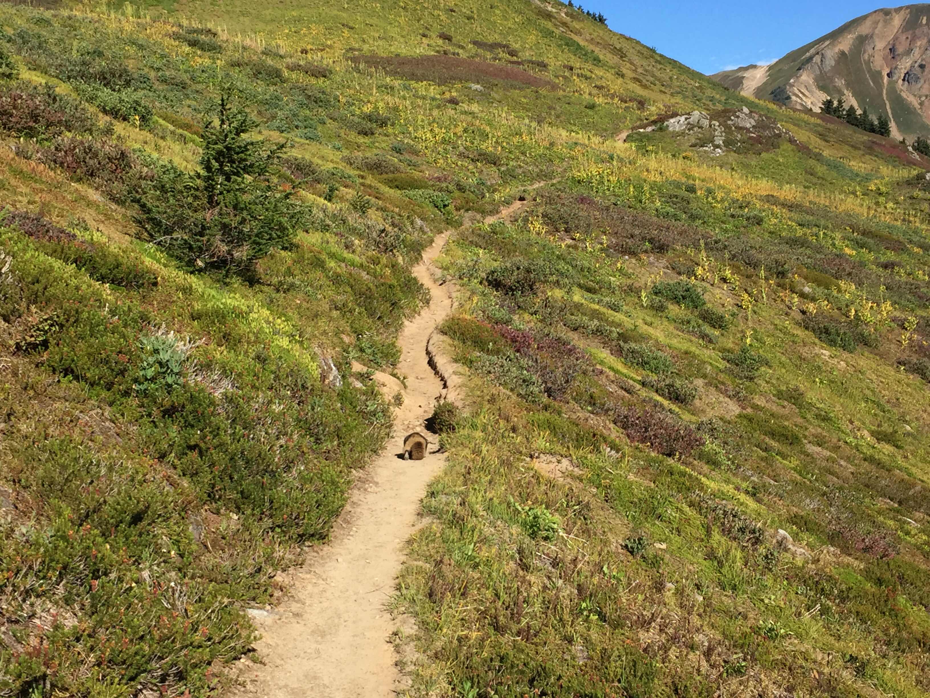
Well!! As you can clearly see here I had an ABSOLUTELY stunning morning!! This A.M. has replaced all previous favorite A.M.s!! I even had a playful marmot lead me along th trail to his home and then give me a mini tour of the place! By 1:00pm I had descended down into a thick forest, which had many blowdowns across the trail, slowing down my progress. I did get to see a lot of sweet trees growing right off of rocks!


White Coral Fungus


Road block


Tree growing OFF of a giant rock!

I approached a large milky river; a run off of Glacier Peak. There were some cool sandy canyon walls which reminded me of Mt. Hood. The bridge across the river was broken but was still useful for getting across. After this I started to climb way back up along Glacier Peak’s flanks.


Bridge down


Building clouds

As I climbed clouds seemed to come out of nowhere and the weather started turning. I didn’t really mind as the morning was prettier than anything I could’ve ever asked for! I was however surprised since the rain wasn’t forecasted until Monday! It was 3 days early!


Great hucks :)


Glacier Peak and a forming storm


The light shines through

The rain turned constant and I was still climbing. I had a campsite in mind which was up and over a very exposed saddle. On the other side of it I could still see the very tip of Glacier Peak! I passed a super pretty lake named Mica Lake, and about a half mile later descended down to my campsite for the night.


See the top?


Mica Lake


A rainbow amidst the bleakness


The biggest roadblock I’ve seen yet!!

These long days are really really tough on me. I’d sort of like to slow it down a bit but I’m really starting to beat this next storm to Mazama. Apparently we’re getting a 1/4 of an inch of rain on Tuesday!! I enjoy the fact that I have this daily blog so I can look back on it and have something to remember this great adventure with. I have to be honest; about half of the time I really don’t want to write it! I’m actually writing this the next day (which you’ll also see was a big one)! Anyway, it’s because of you guys reading that I DO write an entry for every hiking day, and I really appreciate you guys reading along! 2,500 miles I’m almost done!! :)

Thanks for reading!!