
Yup all of these items went into these two bags. And this isn't including food or water!!
Since rainy weather in Oregon in March can be so up and down, we decided to just pick a specific time to request off of work for the trip. The week before we were to leave was so rainy we started thinking we might have to escape to the desert for our trip or hike for days in the rain! But low and behold, the weather cleared up the day before we were headed out, and lined us up for a few days in the sun! We decided to do a ~40 mile trip that I planned on Google Maps by stringing together a few trails in the Columbia River Gorge.

Fresh trail faces!
On Thursday we got a ride from my coworker Mitch and his girlfriend Jackie to the Angel's Rest trail head, 25 miles out of Portland. They decided to hike with us up to the viewpoint, and then we'd go our separate ways onward and upward.
Day one was rough to say the least, 11.5 miles with and elevation gain of over 4000 ft! This was the heaviest our packs would be with food and water, weighing in around 30lbs..


Not a bad spot to stop for a snack I'd say, and what an awesome view :p

Poison Oak much?

Claire's spirit not dampened by her pack one bit!

Surprisingly I happened to be quite color coordinated..

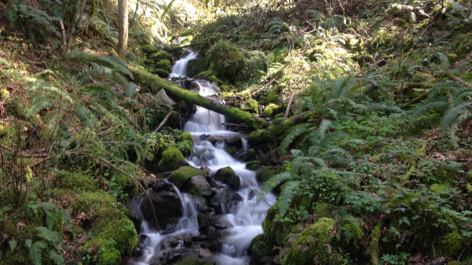
A cool waterfall called Fairy Falls along the way..
After a very long and exhausting day we pulled into a nice campsite along the upper Oneonta Creek. The first night was kind of our initial test to figure out how best and most efficiently to get everything out and put everything back the next morning!
Because our bodies were so sore, and according to my maps we only had an 8 mile day ahead of us, we slept in on day 2. What we didn't realize until the morning was that there was no obvious or simple crossing of the Oneonta Creek, After we finally got everything packed up, we had to spend an hour scouting the river up and down to find a semi-safe place to ford! With freezing cold feet, and safely on the other side of the river, we realized it was almost noon! Time to hustle!
We took the EXTREMELY un-maintained and storm-damaged Horse Creek trail Straight up and out of the creek and into snow country. We knew there'd be snow on the trail, but weren't quite sure how much.

Trying to find some sun in the colder high elevations. (About 2,900 ft elevation)
We were making slow progress in the snow and the temps started dropping quickly. Checking my maps, it seemed like we were only going up and up for a while. At about 4pm Claire and I had a decision to make, continue on and up for two more hours and chance a snow-camp at 3,500 ft, in a deeper, unknown snow level and TRY to find a level place to not freeze, or backtrack back down a little ways to the snow level (2,800 ft) and call it safe. Needless to say we called it safe, and we were sure glad we did!
Waking up early the next morning, we headed up. And up and UP!! Snow level got deeper and deeper, and many times throughout the morning we thought how miserable and cold we would've been if hiking the same area at night frantically looking for a spot to snow-camp. Because of the extra sleep and energy, it turned out to be pretty fun!

A beautiful view while hiking through the snow where we looked out and could see Mount St. Helens and Mount Adams at the same time! Picture taken at (3,200 ft elevation)
By the time we were near the top of the snow section, the other footprints we had been following had already turned around. It was cool to know that we were the first on the trail since the new snow the week before! We climbed up high, maxing out at 3,700 ft elevation! On the initial descent we experienced some deep, unstable snowfields..

Claire enjoying the fresh pow!
We then came down the Nesmith Point trail, using our Kahtoola microspikes for the snowy descent. Starting once we were out of the snow, we passed 15 or so day hikers that were on the way up, many only hiking to the beginning of the snow level.
Playing with a slow shutter simulation for the iPhone, Looks almost SLR-ish huh?
We really packed in some miles on that third day! 6 1/2 miles for the remainder of the snowy climb and long descent of Nesmith Point, and then 4 1/2 miles once hitting the Gorge Trail #400, put us at about 11 miles total for the day, We ended up walking until just before sunset, and had to stealth camp very near the trail on the only flat spot we could find nearby.

Our major-clearing-requiring stealth camp, about 100 yards from the trail. (Night 3)
We awoke around 7:30, and shortly after that we were given a warning from the sky. A short patter of rain reminding us that our three days of fun in the sun were up. We (very quickly and efficiently) packed up, threw on some rain gear and were on the way!

Claire sporting her awesome 8oz umbrella, that broke about 2.5 miles past this picture :(

Rainy trail day = more views for us!
We finally pulled into Cascade Locks at about 11:30 am. We made it! Popping into the Ale House for a celebratory beer, we met Julie Caldwell, an awesome trail angel and one of the main coordinators for PCT related things in Cascade Locks. She heard we were planning on hiking the trail so she showed us a sneak peak of the hiker box for this summer and the trail registry from last year!

The Cascade Locks 2015 registry and 2016 Hiker box already in the making!
We haven't even started the trail yet, but have already felt the love today from many people who appreciate thru-hiking and what the trail is all about. We are already extremely grateful for the Trail Angels, (People who feed and house and resupply thru-hikers, always unpaid and most times out-of-pocket), and we look forward to meeting more awesome people on the trail!
While waiting for our ride back to Portland, (thanks a million TJ!), we decided to go to Thunder Island Brewery. The place that Claire and I went for a post-hike bite and a beer on the first day we met back in September 2014!

We found the old sketch-book at Thunder Island Brewery that we drew in on the first day we met, dating 9-27-14 on the left, and the entry on the right dating 5-18-15 from this last May with our friend Tyler while doing Dog Mountain.

We had to add something in the middle for today, to commemorate our practice dry-run (more like wet-run) Hopefully this will still be here when we roll through in August 2016!

The ending of this mini adventure also holds the beginning of our next adventure, two states and over 2,100 miles south! The Pacific Crest Trail now literally lies ahead for us, See you soon PCT!
Thank you all for your love and support this far. Bookmark this page and stay tuned for actual PCT adventures coming up in just one month! (I promise my posts won't be this long or detailed, as I'll be faaaaaaar to lazy every night and won't have the luxury of a computer to blog!) Anyways, thanks for reading!