
Oh what a beautiful moooooooorning! Oh what a beautiful daaaaaaaaaaay, I’ve got a wonderful feeeeeliiiing, EVERYTHING’s going my waaaaay!
Sorry, just had to get that out of my system.. as you can see by the picture above, it was a beautiful morning, and as you will see from the rest of this post, it was a beautiful day :)
Again I “slept in”, but left camp right at 7:15am. I had made it down from up high last night, and could here the winds roaring from my safe cozy place down in the valley. Within the first two miles l recognized a familiar rcampsite and rock:

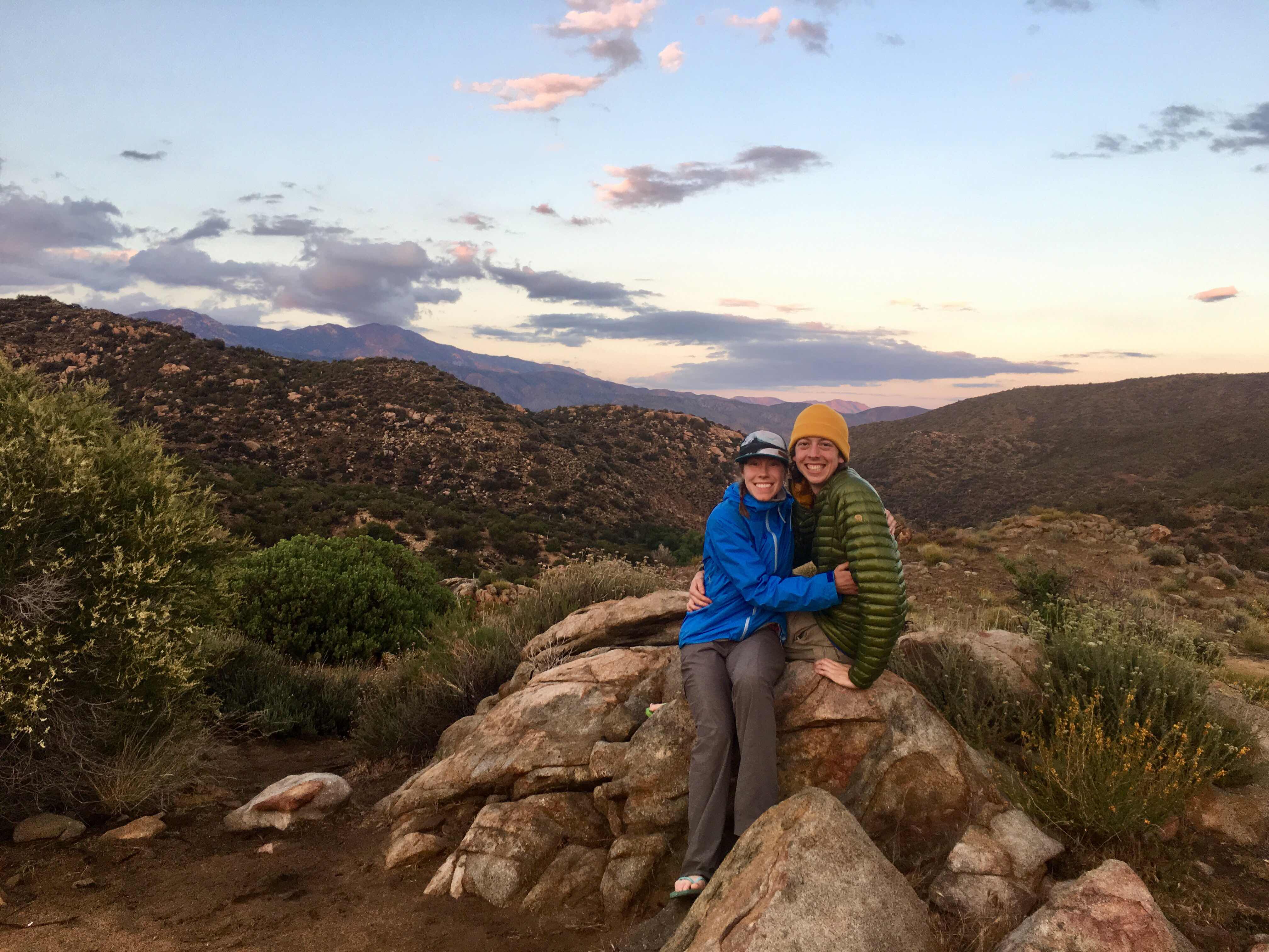
This was the ace where Claire and I had camped after getting hailed and rained on on my birthday last year. It was definitely a roller coaster of a day, but ended with a beautiful pastel sunset and a genuinely happy moment :)
Ok, just a warning, this post is super photo heavy, (probably because I walked over 20 miles and this part of the trail is absolutely gorgeous!)
It was also very hard and was essential up and down giant ridges all day. Today I climbed almost 3,700ft and descended over 2,500. Hard on the quads and knees to say the least!

Cliff-side trail carving. A fall from the middle of that incline over those cliffs would not be fun.
I used my trekking poles like a pro today, shortening for the uphills and lengthening for the downhills. The trail was tough but beautiful. Every time you came around a big bend you could see your next few miles of trail, going down to the next valley and coming back up!


Look at all those layers in the far back middle!
The day way a bit cooler than it’s been, although also very windy. I reapplied sunscreen not as often as I should because of the cool temps and breeze, and I got a nice face burn from both the sun and the wind! There were 2 10 mile waterless stretches for me today. I carried 4 liters from Mike Herrera’s place yesterday so I could avoid two sketchy water sources and not rely on the water caches. However, this as is a pleasant sight to see in the middle of a long dry day:

A sweet water cache off a Jeep road
It was here I officially met Shadow, Treetrunk, Splash, Kat, and Chip. Shadow is from France hiking by himself but happened to be at the cache at the same time. The last four I had briefly seen in Warmer Springs. They are hiking as a group though I’m not sure if they knew each other before-trail.

Saw my 3rd snake today, still no rattles!!

Can’t

Stop,

So,

BEAUTIFUL!!
I was FLYING through the desert! Feet felt great, body felt (mostly) great. Since it was a cold morning, my left hamstring started aching and wouldn’t let up as it never fully warmed up outside. Nothing major, just annoying. Luckily, at that water cache, Kat had some (heating cream?). Kinda like a hot/cold ointment that really really helped! I traded her a squeeze of that for a Werther’s Original I had found in a hiker box.
Okay guys, check this: I hiked 17 miles by 3:00pm today! That’s over 2mph for nearly 8hrs INCLUDING breaks! Why you ask? For this of course:

I already forgot what this burgers name was because I don’t remember much for about 2 hrs after I ate it because of my food coma, hahaha! How come the veggies are hidden under the fries? Well because there’s 2 half-pound patties (yes that’s right folks, a whole pound of beef), two slices of cheese, bacon, AND guacamole taking the spotlight!
I ordered this monster at the Paradise Valley Cafe, 1 mike west of where the PCT intersects with highway 74. After walking 17 miles, of course I hitched to one mile, haha. I got a pretty quick ride from a nice lady headed that way. When I arrived I saw Julian (the one who I moved the firewood with yesterday), Shadow (the Frenchman I met about 10 miles back, and Joseph, and older German man who hikes VERY fast and doesn’t have trekking poles.
I joined their table and since they were in a food coma as well, we were all ready to leave at about the same time. As we were leaving, some others arrived. We saw Ben (who I met at Mike’s yesterday and camped near last night), and the other four I had just met at the cache along with Shadow.
It was time to hitch back to the trail to get a few more miles in, so I pulled out my fancy hitchhiking sign:

We had no luck for about 10 mins, maybe my legs were too dirty?! :p
In the end, it was Shadows smooth talking in his French-accent that landed us a ride. He had talked to a couple in a pickup that were leaving the restaurant. And even though they were headed the opposite direction, they said they’d take us a mile down the road.

My second pickup rode in two days!
Left to right: Two-pack, Julian, Shadow, and Joseph
At the cafe we all had talked about the upcoming section. It’s still 27.5 miles up a huge mountain ridge to Idyllwild (our next town stop) if you were to hike the PCT all the way there. Only problem is that a section of the PCT is still closed for fire recovery and re-building if the trail from a fire back in 2013. In 2016 when Claire and I hiked the trail, we had to climb up the PCT and descend down the Cedar Spring Trail, and then follow a really crappy dirt road down to highway 74, and then follow it to another dirt road, and THEN walk waaaay uphill into Idyllwild. The alternate we took added like 10 miles to the usual trial miles in the PCT.
Since then, they have managed to open up about 8 more miles of trail and so now you can take the PCT all the way up to a trail called Spitler Trail. From there hikers can drop down west, similar to the Cedar Spring Trail, but instead of having to hike on dirt roads and the highway for about 10 extra miles, there are a series of small gravel roads and other trails that lead back up to Idyllwild much quicker. The whole alternate just adds 3 miles to what we would walk on the PCT.
All four of us would like to walk a continuous footpath and not hitch, plus, when hikers hitch from Highway 74 into Idyllwild, they miss 17+ miles of magnificent trail miles that are open up to Spitler Trail! Here are some pics of just the first four miles, to where we decided to camp tonight.

Sorry poor lighting, but it’s like walking into boulder-El Dorado..


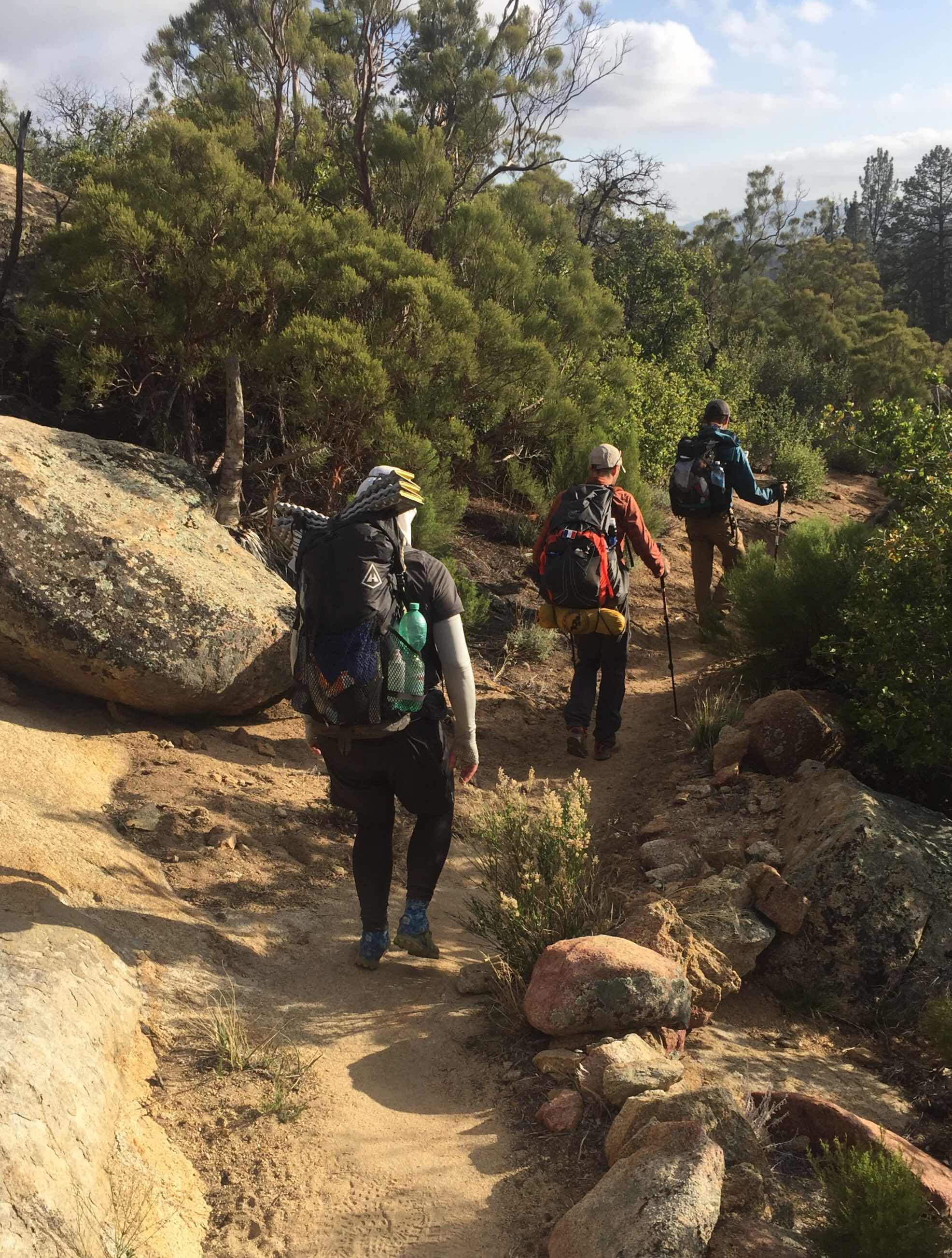
Julian, Shadow, and Joseph
We are all a VERY similar pace, at least from what I saw today. Joseph has the lightest pack and flys downhill, where I’m more careful downhill but make up speed on the inclines. Julian is the youngest (24) and takes the least breaks, he’s probably the quickest of the bunch. From what I can tell Shadow and I are about even.
That’s not really important though. What ISO’s that we’ve decided to hike into Idyllwild as a group more or less. There are a few reasons for this. One, this is unfamiliar trail for all of us and sometimes directons with a new alternate can be iffy. The four of us together will easily stay on track. Two, if you recall my previous post about the upcoming weather in Idyllwild, you’ll understand our haste and wanting to stick toegether. Tomorow night might get very cold with a chance of snow Tuesday, when were expected to be approaching Idyllwild. Three, BECAUSE of the horrible weather Tuesday night, Julian booked a room at the Idyllwild in, and it will only cost us about $25 each. I wasn’t planning on staying in a room this early on, but with Tuesday night looking like this:

I’ll pay $25 to not freeze and have a hot shower/laundry :)
We went about 4 miles north from highway 74, bringing my total to over 21! Woo-hoo! I normally wouldn’t want my pace/length of day dictated by anything, but over lunch/dinner, we all looked maps/weather and realized it will be in our best interest to make it up to the point where the Spitler trail drops off the PCT, and make it down a couple thousand feet in elevation before nightfall. The Split off to Spitler is over 7,000ft elevation, and you don’t want to be up there on a below-freezing night with the possibility of snow or strong winds. That’s why we hiked so far today. But you know, I’m feeling great! No problems in the toes, I’ll have to see how my hamstring feels tomorow and Tuesday in the cold.
In other news, this is the first night I’ve actually set up my rainfly on my tent! I don’t expect it to rain, just to be very cold. Look pretty good huh?

Tent and rainfly and poles and stakes: 1lb, 15oz :)
Well, that’s it! Sorry for the super long post! I hope I’ll have service tomorrow afternoon once we drop down from the ridge. This is my projected end point tomorow:

Hoping for 17.4 miles tomorow, with 3,995 ft gain and 4,241 ft loss! Dang!!
Thanks for reading!!
Yes, beautiful pictures!! 😍 I especially appreciated the comparison ones of your 2016 trek alongside this year. I am actually re-reading your former blog too,but instead of by date I read by locations.
ReplyDeleteWhat a nice hitching sign Claire made for you! 😉
Dad and I are both relieved to read that your new shoes and socks are making a world of difference!
Also releived that you are choosing company to be around since weather may get funky before Idllywild. Very glad you hiked a bit extra to get lower before it got dark. Also glad to read that more trail is open and detours are better than 2016. But still,it it's been like 5 years since the 2013 fire and it's frustrating to hear the trail has still not been restored. );
I look forward to hearing from you soon!
I’m glad you’re reading both together! I’ve been wanting to do that but too lazy! If I did I would’ve remembered that Taco night in Idyllwild is Monday and Thursday and not Tuesday!! :(
Delete🎵He said, "I AM EXTREMELY HUNGRY!!!!
ReplyDeleteBut I guess I can wait until then..."
Coz' your his Cheeseburger,
His yummy Cheeseburger,
He'll wait for you-ooo,
YAH! He'll wait for you-ooo,
Oh, You are his Cheeseburger,
His tasty Cheeseburger,
He'll wait for you-ooo,
Oh, he will wait for you. 🎶
NAILED IT!
Delete